Chapter 17 — Conservation practice and Andhra Pradesh cases
Learning aims
Use Andhra Pradesh places to connect ecology with livelihoods and administration; distinguish a protected-area category from a habitat or international label; and evaluate conservation claims with maps, dates and source quality.
17.1 Read the state as connected ecological regions
Andhra Pradesh is not one uniform habitat. The Eastern Ghats form a discontinuous chain of hills and plateaus; river valleys and reservoirs create freshwater systems; the Krishna–Godavari deltas support agriculture, estuaries and coastal wetlands; the Bay of Bengal coast includes beaches, lagoons, mangroves and the port-city landscape. These units exchange water, sediment, nutrients, organisms and people. A change in an upstream catchment can affect a downstream wetland; a coastal embankment can alter the movement of tidal water into mangroves.
For field and exam work, use a three-scale locator. At the state scale, identify broad drainage basins, coast, hill ranges and major wetland complexes. At the landscape scale, map links among river, floodplain, tank, reserve forest, village and farm. At the site scale, record boundaries, access points, seasonal conditions, habitat and the exact date of observation. A dot on a map may locate a sanctuary; it cannot describe its boundary or ecological condition.
Do not infer a species’ presence from a habitat label alone. “Eastern Ghats” is a broad geographical description; an animal’s current occurrence needs a dated survey, official species record, or reliable field study. The same rule applies to vegetation, migratory birds, and invasive plants.
17.2 Kolleru: a lake between river systems and land use
Kolleru lies between the Krishna and Godavari delta regions and receives water through a network of streams and drains. Its shallow lake, islands, shoreline and inflow channels are shaped by monsoon variability, water control, aquaculture, agriculture, settlements and nutrient inputs. The ecological questions are connected: what is the seasonal lake area; where does water enter and leave; how do embankments and channels affect circulation; what is the quality of inflow; and how are fisheries, bird habitat and local livelihoods affected?
The Ramsar Information Sheet records Kolleru as a Wetland of International Importance with designation date 19 August 2002. This is a dated international-list fact. It does not replace the need to check the latest Ramsar site information, the domestic boundary record, court directions, state management plans, or current land-use law before making a parcel-level claim.
A useful exam method separates ecological function from pressure. Functions may include floodwater storage, habitat, fisheries and livelihood support. Pressures may include nutrient loading, altered flows, land conversion, illegal or poorly regulated structures, invasive species and climate variability. Do not say that one factor alone explains all change without evidence. Restoration requires water-level and water-quality monitoring, connectivity, enforcement, livelihood engagement and transparent evaluation over time.
17.3 Pulicat: a transboundary lagoon
Pulicat Lagoon extends across Andhra Pradesh and Tamil Nadu. It is a brackish coastal system connected to the Bay of Bengal through an inlet whose condition and location can change. Salinity and ecological conditions respond to freshwater inflows, tides, inlet exchange, sediment transport, rainfall, drought and human water use. This makes a single-date observation an incomplete description of the lagoon.
The lagoon supports fisheries, bird habitat and local economies. A conservation plan must map the lagoon and connected coastal habitats as a functional landscape, while recognising that administrative boundaries cross the ecosystem. Catch records, salinity transects, inlet geometry, bird surveys and seasonal water levels answer different questions; one cannot substitute for all the others.
Exam questions often mix up Pulicat’s location, the states it spans, nearby protected areas and international-site labels. Verify each claim from the relevant Ramsar record, state forest department notification, Survey of India or other official map, and date. A sanctuary notification is a legal boundary; a lagoon boundary is a hydrological feature; a Ramsar site boundary is an international designation boundary. The outlines may overlap without being identical.
17.4 Coringa and Godavari mangroves
Coringa Wildlife Sanctuary lies in the Godavari estuarine region. Mangroves tolerate saline and waterlogged conditions through adaptations such as aerial roots and salt-management strategies. Their physical structure can reduce wave energy in some settings, trap sediment, provide nursery habitat and support food webs. These benefits depend on healthy vegetation, suitable tidal exchange and sediment supply; a mangrove belt is not a universal substitute for safe coastal planning.
Estuarine salinity changes with river discharge and tide. Freshwater releases, upstream abstraction, sediment change, port development, pollution and storms can alter ecological conditions. Management therefore combines wildlife protection with catchment and coastal planning. Coringa is a useful case for understanding a protected area embedded in a working estuary, rather than a closed island of nature.
When a question asks for mangrove functions, choose functions supported by ecological mechanisms. Avoid overclaiming a fixed percentage of storm protection or a universal carbon value unless the question supplies a study and its context. “Blue carbon” refers to carbon stored in coastal and marine ecosystems, including mangroves, seagrasses and tidal marshes; it is a climate and conservation concept, not an automatic offset credit for every planting project.
17.5 Eastern Ghats and habitat connectivity
The Eastern Ghats contain varied elevation, geology, rainfall and vegetation. Fragmentation can separate habitat patches through roads, mines, reservoirs, agriculture and settlement expansion. A corridor is not simply a narrow strip drawn between two forest blocks: it must be permeable to the species of concern, maintain habitat quality, and be supported by evidence about movement and seasonal use.
Connectivity planning asks which species are focal, what barrier limits movement, how wide and vegetated a route must be, and whether local communities bear costs or receive benefits. Camera traps, sign surveys, telemetry, genetic sampling and local knowledge answer different questions. None should be presented as conclusive beyond its method and sample.
Protected-area network terms are not interchangeable. A national park and a wildlife sanctuary are statutory protected-area categories under the Wildlife (Protection) Act, subject to their provisions and notifications. A conservation reserve and community reserve are other categories created by amendment. A biosphere reserve is a landscape-level conservation and sustainable-development concept, with national and UNESCO programme roles; it is not identical to a national park. An eco-sensitive zone is notified around a protected area through a separate process, with activity-specific regulation. A Ramsar site is an internationally recognised wetland. A place can carry more than one label, each with its own boundary and purpose.
17.6 Conservation and livelihoods
Conservation decisions affect fishers, farmers, pastoralists, forest-dependent households, tourism workers and people whose homes lie in flood-prone areas. A sound plan identifies who uses which resource, in what season, under what legal right, and how a restriction or restoration changes access and income. Participation is more than a meeting; it includes understandable information, representation of affected groups, transparent grievance channels and follow-up.
Conflict is reduced when ecological goals are specific and fair. For a wetland, measurable goals might include maintaining seasonal water depth, reducing nutrient loads, preserving open-water and reedbed mosaics, and sustaining fish recruitment. For a mangrove, goals may include tidal connectivity, survival of naturally regenerating patches, and community access rules. A target should be monitored and revised when evidence changes.
17.7 Field note template for AP examples
When recording a place for study, write: (1) official place name and alternate spellings; (2) district and coordinates with map source; (3) ecological type; (4) legal or international designation and notification date; (5) boundary source; (6) season and observation date; (7) pressure or management claim; (8) evidence source; and (9) what remains uncertain. This prevents a true general fact from being stretched into an unsupported current claim.
Worked comparison
Feature | Kolleru | Pulicat | Coringa |
Broad system | Shallow freshwater lake | Brackish coastal lagoon | Godavari estuary and mangroves |
Main processes to study | Inflows, lake level, nutrients, land use | Inlet, tides, salinity, freshwater inflow | Tidal exchange, sediment, salinity, mangrove condition |
Common category error | Ramsar date treated as a parcel boundary | State boundary confused with lagoon or sanctuary boundary | Mangrove ecosystem treated as a complete storm barrier |
Evidence priority | Seasonal water and land-cover records | Multi-season salinity and inlet mapping | Tidal connectivity, forest condition and estuary data |
Retrieval check
1. Why should Kolleru’s Ramsar date not be used as the boundary date for every legal parcel?
2. Name two processes that can change Pulicat’s salinity.
3. Explain why mangrove protection and coastal setback planning are complementary.
4. Distinguish a wildlife sanctuary from a biosphere reserve and Ramsar site.
5. What additional evidence is needed to claim that a corridor is used by a named species?
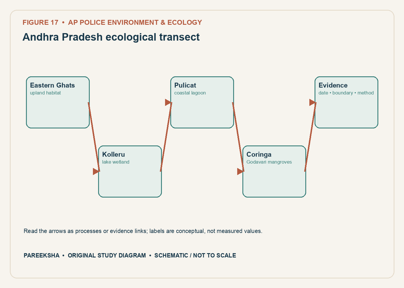
Figure 17.1 Andhra Pradesh ecological transect. Original explanatory diagram; schematic and not to scale.
Chapter practice questions
1. Kolleru is a useful Andhra Pradesh case for studying:
A. A Himalayan glacier
B. A western coastal coral reef
C. A shallow inland lake, catchment inflows, wetland ecology and changing land use
D. A desert dune field
Answer: C. Kolleru is a major freshwater wetland in the Krishna–Godavari delta region. Its hydrology and ecology interact with land use, livelihoods and water management.
2. Which statement about Coringa is correct?
A. It is a high-altitude alpine reserve
B. It is located in the Thar Desert
C. It is a Himalayan biosphere reserve
D. It is associated with Godavari estuarine mangroves in Andhra Pradesh
Answer: D. Coringa Wildlife Sanctuary is associated with the Godavari estuary and mangrove ecosystems. Exact area and boundary questions require current official notification records.
3. Pulicat Lagoon spans:
A. Andhra Pradesh and Tamil Nadu
B. Andhra Pradesh and Gujarat
C. Tamil Nadu and Kerala
D. Odisha and West Bengal
Answer: A. Pulicat crosses the Andhra Pradesh–Tamil Nadu administrative boundary. The lagoon ecosystem, state boundary and protected-area boundary are distinct spatial concepts.
4. Which pair matches a place to a broad ecological setting?
A. Kolleru — Himalayan snowfield
B. Coringa — estuarine mangroves
C. Pulicat — desert oasis
D. Eastern Ghats — polar tundra
Answer: B. Coringa is associated with estuarine mangroves. The other pairings describe unrelated environments.
5. Why should an AP habitat locator map be marked “schematic, not to scale” if it uses approximate place dots?
A. It proves the points are exact survey coordinates
B. It eliminates the need for a legend
C. It helps prevent readers from treating it as a legal boundary or navigation map
D. It makes every boundary official
Answer: C. A locator diagram shows broad relationships, not certified coordinates or legal outlines. The limitation should be stated clearly.
6. What makes Pulicat an example of a connected coastal system?
A. It is entirely isolated from tides
B. It has no freshwater inputs
C. It contains only one habitat type
D. Its lagoon, inlet, sea, freshwater inflows and adjacent habitats interact
Answer: D. Coastal lagoons respond to tidal exchange, freshwater, sediment and adjacent habitats. Connectivity shapes salinity and ecological processes.
7. Which data would best support an assessment of Kolleru’s seasonal hydrology?
A. Repeated water-level and water-spread observations with dates, methods and locations
B. One undated photograph
C. A district population table only
D. A single temperature reading from another state
Answer: A. Seasonal hydrology requires repeated, georeferenced measurements and comparable methods. A single image cannot characterize variation.
8. A village near a wetland reports changes in fish catch. Which additional record would help interpret the trend?
A. The village name alone
B. Catch per unit effort, season, gear, water conditions and fishing access
C. Number of pages in the local plan
D. Annual rainfall from a distant station only
Answer: B. Catch totals depend on fishing effort and conditions. Recording gear, timing and access helps distinguish ecological change from changes in effort or reporting.
9. Which principle is useful when comparing Kolleru and Pulicat?
A. Treat their hydrology as identical
B. Use one site’s boundary for the other
C. Compare similar indicators over comparable seasons while recognising different system types
D. Ignore freshwater and tides
Answer: C. Comparisons should use appropriate, standardised measures but retain ecological differences. Kolleru and Pulicat are not interchangeable systems.
10. Why can a protected mangrove area still need catchment-scale planning?
A. Legal boundaries stop water flow
B. Mangroves create all river sediment
C. Upstream land use has no downstream effect
D. Pollution, freshwater flow and sediment can arrive from outside its legal boundary
Answer: D. Estuarine systems are influenced by processes across their catchments. Protected-area status does not control all upstream inputs.
11. Which would be a valid ecological restoration indicator for a mangrove site?
A. Tidal connectivity and survival/regeneration measured over time
B. The number of seedlings purchased only
C. Total district road length
D. One volunteer attendance sheet
Answer: A. Hydrology and sustained regeneration are relevant outcomes. Planting inputs alone do not establish a functioning mangrove ecosystem.
12. A coastal project claims its mangrove planting offsets removal of mature trees elsewhere. What should be examined?
A. Seedling purchase receipts alone
B. Ecological equivalence, location, time lag, survival, hydrology and legal requirements
C. Whether both sites have the same district name
D. A promotional photograph
Answer: B. Restoration is not automatically equivalent to mature-habitat loss. Site suitability, time, biodiversity and legal conditions matter.
13. What is one risk of using an old forest report’s Coringa area figure as current?
A. Area cannot be measured
B. All reports are timeless
C. The boundary, measurement method or site condition may have changed
D. Mangroves do not grow or decline
Answer: C. Boundaries and remote-sensing definitions may change, and ecosystems change over time. State the reference date and use a current source.
14. Which factor can influence mangrove seedling establishment?
A. Longitude alone
B. The colour of nearby buildings
C. The district’s name
D. Tidal elevation and inundation regime
Answer: D. Inundation frequency and elevation affect salinity, oxygen and sediment conditions for establishment. Species and local geomorphology also matter.
15. Which claim about an ecological corridor requires direct evidence?
A. A named species regularly moves through the proposed corridor
B. The corridor appears as a line on a planning map
C. Vegetation exists in the landscape
D. A road crosses a district
Answer: A. Species use must be supported by relevant movement evidence. A map identifies a proposed route but does not prove animal use.
16. Local knowledge is especially useful in wetland studies when it records:
A. Legal text without a Gazette
B. Seasonal water, fish movement, flood patterns and resource use over time
C. Instrument calibration from memory only
D. The exact genetic sequence of all organisms
Answer: B. People who use a landscape can observe seasonal and historical patterns. This knowledge complements, rather than replaces, systematic measurement and legal records.
17. What is a sound way to report an ecological change observed by residents?
A. Treat the report as false without inquiry
B. State a statewide trend from one anecdote
C. Record who observed what, where and when, then test the pattern with appropriate monitoring
D. Assign a cause before collecting data
Answer: C. Community observations can identify questions and guide sampling. Repeated, documented evidence is needed to establish extent and cause.
18. Why do AP coastal and wetland examples help exam preparation?
A. They make national ecology irrelevant
B. They prove every state has identical ecosystems
C. They replace the need to understand concepts
D. They connect general ecological mechanisms to named landscapes and governance questions
Answer: D. Local examples help apply concepts, but the mechanisms remain broadly useful and must be understood separately from place facts.
19. When should a source date be recorded for a protected-area fact?
A. Whenever the claim depends on a current list, boundary, legal category or reported area
B. Only when a source has a colourful logo
C. Never, because laws do not change
D. Only for old maps
Answer: A. Lists and legal boundaries can change. A retrieval date and instrument date show the version used.
20. Which evidence best supports a claim that a wetland’s water quality is improving?
A. A one-time visual impression
B. Repeated measurements with consistent methods at representative sites and seasons
C. A new tourism sign
D. A change in the district boundary
Answer: B. Repeated and comparable data support trend analysis. Site selection, methods and seasonal coverage should be reported.