Chapter 9 — Wetlands, lakes and freshwater systems
Exam link: common foundation; Andhra Pradesh wetland examples.
Learning aim: understand wetlands through water regime, soils and vegetation; distinguish wetland types and read Kolleru and Pulicat as dated, connected systems rather than static map labels.
9.1 Wetlands are defined by conditions
Wetlands are areas where water is present at or near the surface for all or part of the year, shaping soils, vegetation and ecological processes. The exact legal and inventory definition depends on the instrument being used. For an ecological explanation, pay attention to water depth, duration, timing, source, movement and chemistry. A place that floods briefly after rain may differ from a permanently inundated lake, even if both appear blue on one map.
Wetlands include marshes, shallow lakes, floodplains, swamps, estuaries, tidal flats and seasonal basins. They may contain fresh, brackish or saline water. Some are natural; others are constructed or heavily managed. Their names do not always map neatly to legal categories. When a question tests a rule, use the notified definition in force at the stated date, not an everyday definition.
9.2 Hydrology organizes wetland ecology
The hydroperiod is the seasonal pattern of water depth, duration and timing. It influences germination, habitat availability, nutrient movement and the organisms that can complete their life cycles. A wetland may shift from open water to exposed mud or vegetation during the year. Such a change can be part of normal dynamics; it is not automatically evidence of ecological failure.
Water enters from rainfall, rivers, groundwater, tides or managed transfers. It leaves through evaporation, seepage, outflow or human withdrawal. Sediment and nutrients arrive from the catchment and can be retained, transformed or exported. A blocked inlet or drainage channel may alter exchange; embankments and bunds can change flood patterns; catchment land use can affect runoff and water quality. The wetland is linked to its surrounding landscape.
Wetland vegetation often reflects inundation and soil conditions. Plants can slow local flow, trap some material and provide structure for organisms, but the extent and effect depend on species, season and water regime. A single vegetation belt does not capture every function.
9.3 Ecosystem services and their limits
Wetlands can support habitat, fisheries, recreation, cultural practices, water storage, nutrient transformation and other benefits. Some wetlands can reduce peak flows locally by storing or slowing water, but this depends on available storage, connectivity, flood size and land management. A wetland should not be described as preventing all floods. Nor should it be judged only by a single service: water retention, biodiversity, livelihood, water quality and cultural values can interact or conflict.
The phrase ecosystem services helps describe contributions to human well-being. It can improve decision-making when the service and beneficiaries are specified. It should not imply that every wetland value can be priced fully or that a monetary estimate settles a rights or conservation question.
9.4 Eutrophication and oxygen stress
Nutrients such as nitrogen and phosphorus are essential for life. Excessive input can stimulate algal or plant growth in susceptible waters. When this material dies, decomposition can increase oxygen demand. Dissolved oxygen may decline, especially where water is warm, poorly mixed or heavily loaded with organic matter. Some organisms may be stressed or displaced.
The sequence is conditional, not automatic. Nutrient form, light, flow, depth, temperature, residence time and biological community influence the result. A nutrient concentration alone does not measure total load; concentration multiplied by flow over time is needed to estimate mass transported. Likewise, a low oxygen reading at dawn can reflect nightly respiration and needs comparison across place and time.
9.5 Kolleru: a lake, wetland and human-use landscape
Kolleru is a major freshwater wetland in Andhra Pradesh and is listed by the Ramsar Convention as a Wetland of International Importance. The Ramsar site information gives its designation date as 19 August 2002; that is a dated international designation fact, not a current ecological-condition score. The lake is shaped by seasonal water, feeder channels, surrounding land use, fisheries, settlements and conservation management.
Kolleru illustrates a common exam distinction: a Ramsar designation recognizes international wetland importance under a convention framework, while wildlife sanctuary status is a separate domestic legal designation. One does not automatically replace or define the other. Site boundaries and rules must be checked against the relevant national notification. Do not infer that every activity in the wider catchment is inside the designated wetland boundary.
The ecology is dynamic. Water levels and open-water extent change seasonally; birds use different habitats at different times; fishery practices and inflows influence the landscape. Any numerical claim about area, bird counts, fish production or current condition must identify its source, date, spatial unit and method. For a study guide, the strongest transferable lesson is that lake health depends on hydrology, water quality, habitat, catchment pressure and governance together.
9.6 Pulicat: a lagoon spanning a state border
Pulicat is a coastal lagoon associated with Andhra Pradesh and Tamil Nadu. It is separated from the sea by a barrier spit and connected through openings whose condition affects exchange and salinity. Freshwater inflows, tides, sediment movement and seasonal conditions shape the lagoon. The site supports human livelihoods as well as ecological functions.
Pulicat is a useful case in landscape reasoning. Administrative boundaries do not contain water movement. A decision affecting one shore or inlet can influence fishing, water quality or access elsewhere. A map should show the lagoon as a connected water body and clearly label the state locator as generalized; it should not imply that an administrative line divides ecological processes.
9.7 Wetland degradation and restoration
Pressures can include drainage, encroachment, altered inflow or outlet, pollution, excessive nutrient input, invasive species, overharvesting and incompatible infrastructure. A response should begin with diagnosis. If water exchange is the problem, planting more vegetation may not restore the hydroperiod. If catchment pollution continues, cleaning one visible shoreline may have limited effect. Restoration may require cooperation among agencies and communities across jurisdictions.
Useful monitoring variables include water depth and duration, inflow/outflow, salinity where relevant, dissolved oxygen, nutrient levels, vegetation zones, species use and livelihood patterns. Measurements should be taken repeatedly and at comparable seasons. A one-day bird count or a single water sample cannot establish long-term trend.
Worked case: seasonal bird observations
An observer records fewer waterbirds in a wetland this month than at the same time last year. Possible explanations include water depth, food availability, disturbance, movement to another site, survey timing and identification/detection. A valid comparison uses the same locations, effort, season and method, and ideally records water levels and habitat conditions. The observation is a signal worth investigating, not sufficient proof of population collapse.
Figure 9.1 — Wetland cross-section: show catchment runoff, shallow and deeper water, seasonal shoreline, wetland plants, inlet/outlet and groundwater connection. Include arrows for inflow and outflow; label the drawing conceptual.
Figure 9.2 — AP wetland locator: mark Kolleru and Pulicat in a generalized map frame, with a separate Coringa/estuary pointer reserved for Chapter 10. Include a date/source note, no exact wetland boundaries and “schematic, not to scale.”
Exam traps and retrieval
- A wetland is characterized by water regime and ecological conditions, not one visual snapshot.
- Ramsar status and domestic protected-area status are separate designations.
- Concentration is not load; current condition is not the same as historic designation.
- Wetlands can provide multiple services, but flood mitigation is conditional.
- A seasonal bird count is not automatically a long-term population trend.
- Ecological processes can cross state or district boundaries.
Explain how the same wetland could look like open water in one season and vegetated mudflat in another. State two possible nutrient-to-oxygen pathways and one measurement that helps test them. Finally, distinguish international wetland designation from a domestic sanctuary notification.
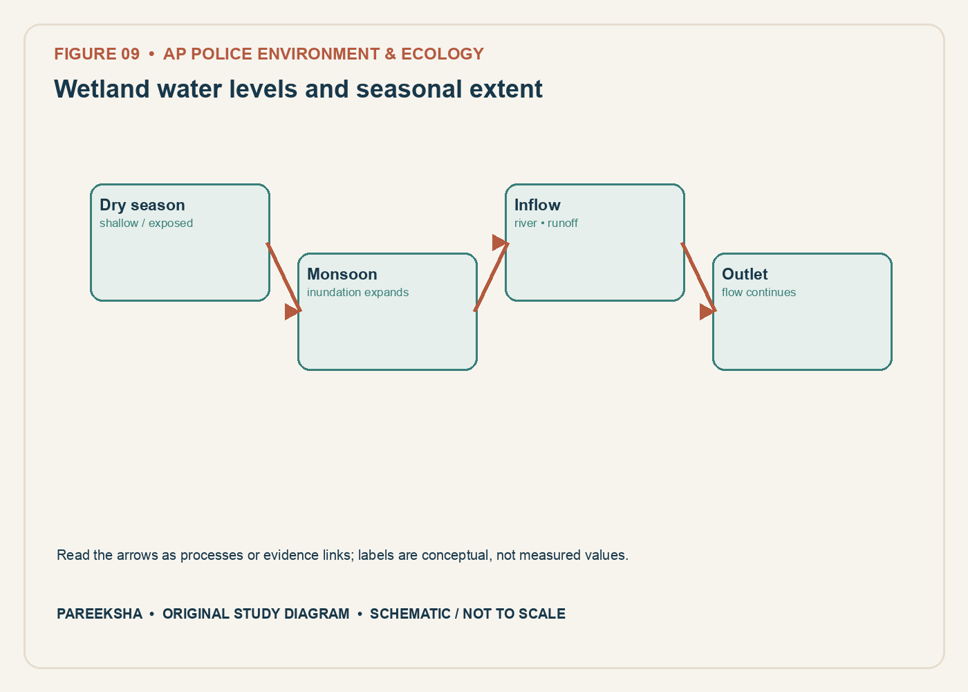
Figure 9.1 Wetland water levels and seasonal extent. Original explanatory diagram; schematic and not to scale.
Chapter practice questions
1. A wetland is best understood as:
A. Any place that receives rain once
B. A permanently deep lake only
C. A system where water saturation or inundation shapes soils and ecological processes for some period
D. A dry rocky upland without water influence
Answer: C. Wetlands include varied systems whose hydrology, soils and organisms reflect periodic or persistent water. Definitions and legal boundaries depend on the relevant instrument.
2. Which process can wetland vegetation influence?
A. Creation of new elements
B. Elimination of all floods
C. Stopping every pollutant at every concentration
D. Nutrient retention and transformation
Answer: D. Vegetation and wetland soils can retain or transform nutrients under some conditions. Capacity is finite and depends on flow, chemistry, vegetation and loading.
3. Kolleru Lake’s Ramsar designation date is recorded as:
A. 19 August 2002
B. 26 January 1950
C. 1 April 2016
D. 14 September 2006
Answer: A. The Ramsar Information Service site record lists Kolleru’s designation on 19 August 2002. This date identifies international listing, not every domestic boundary or legal notification.
4. Kolleru is located between the delta regions of which rivers?
A. Narmada and Tapi
B. Krishna and Godavari
C. Ganga and Yamuna
D. Mahanadi and Brahmani
Answer: B. Kolleru lies between the Krishna and Godavari delta regions. The lake’s hydrology is influenced by inflows and land use across its catchment.
5. Why is a wetland’s seasonal water extent important?
A. Wetlands never change extent
B. Only the dry-season area is legally relevant everywhere
C. A single dry-season outline may miss monsoon expansion and connected floodplain habitat
D. Seasonal extent determines the Ramsar date
Answer: C. Wetland extent can change seasonally and across years. Mapping must state date, method and hydrological conditions; a legal boundary requires the applicable notification.
6. Which statement about Ramsar status is accurate?
A. It automatically transfers land ownership to the Convention
B. It removes the need for national management
C. It means every activity is prohibited
D. It is international recognition under the Convention on Wetlands and does not by itself answer every domestic parcel-level legal question
Answer: D. Ramsar listing recognises international importance and supports wise-use commitments. Domestic statutes and site notifications govern specific legal boundaries and activities.
7. A wetland receives nutrient-rich drainage and develops dense algal growth. Which mechanism may follow?
A. Decomposition of excess organic matter can increase oxygen demand
B. Oxygen must increase without limit
C. The lake becomes a forest biome
D. Nutrients cease to cycle
Answer: A. Excess production can lead to decomposition and oxygen consumption, potentially causing hypoxia under suitable conditions. The outcome depends on mixing, temperature and loading.
8. Which feature distinguishes a seasonal wetland from a permanently inundated deep lake?
A. It can contain no organisms
B. Its hydrology may include predictable periods of drying or shallow inundation
C. It has no soil
D. It is always artificial
Answer: B. Seasonal wetlands experience recurring changes in inundation. Such variation can be ecologically important for plants, invertebrates and birds.
9. Pulicat Lagoon is a transboundary coastal lagoon shared by:
A. Andhra Pradesh and Odisha only
B. Kerala and Karnataka
C. Andhra Pradesh and Tamil Nadu
D. Gujarat and Maharashtra
Answer: C. Pulicat spans Andhra Pradesh and Tamil Nadu. Exact administrative, hydrological and protected-area boundaries should be sourced from the relevant official maps and notifications.
10. Salinity in a coastal lagoon can vary with:
A. Latitude alone
B. The number of nearby roads only
C. The colour of the map
D. Freshwater inflow, tides, inlet exchange and evaporation
Answer: D. Salinity reflects multiple water-balance processes, including freshwater input, tidal exchange, rainfall and evaporation. Monitoring across seasons is useful.
11. Why can closure or migration of a lagoon inlet have ecological consequences?
A. It changes water exchange, salinity and sometimes sediment movement
B. It eliminates the role of rainfall
C. It converts salt water into sunlight
D. It guarantees improved fisheries
Answer: A. An inlet affects tidal exchange and can influence salinity, flushing and sediment. Outcomes for fisheries or habitat are context-dependent and require monitoring.
12. Which field measurement is most directly useful for describing lagoon salinity conditions?
A. One air-temperature reading at a distant station
B. Repeated salinity observations at mapped sites across seasons and tidal phases
C. A list of fish common names only
D. A count of district offices
Answer: B. Salinity varies spatially, seasonally and with tides, so repeated georeferenced measurements are more informative than one isolated sample.
13. A Ramsar factsheet reports an area figure from an earlier year. How should it be used in a current book?
A. Present it as today’s exact area without qualification
B. Change the number to match another website
C. Label it with its reference date and verify whether a current record supersedes it
D. Use it as a legal boundary automatically
Answer: C. Site data can be revised and mapped boundaries may serve different purposes. Date-stamping and checking the current official record prevent stale figures.
14. Which statement about ecosystem services is most careful?
A. Every wetland eliminates all flood risk
B. Services are identical in every wetland
C. A service claim replaces ecological monitoring
D. Wetlands may provide services such as flood storage or fisheries, but the extent depends on site condition and context
Answer: D. Wetland functions vary by hydrology, size, condition and landscape position. No ecosystem service guarantees complete protection from extreme events.
15. What is the “zone of influence” in wetland planning concerned with?
A. The area beyond the mapped wetland whose activities or processes can affect its ecological condition
B. Only the exact centre point of a lake
C. A species’ global range
D. The atmospheric boundary of a country
Answer: A. Wetland guidelines consider surrounding areas and processes that influence the wetland. The delineation should be based on hydrological and ecological evidence.
16. Which is the best evidence that a wetland restoration improved ecological condition?
A. The number of saplings bought alone
B. A before-and-after monitoring design with indicators tied to stated objectives
C. A press release without measurements
D. A single photograph with no date
Answer: B. Outcome monitoring must measure the target condition over time and ideally compare against a baseline or reference. Inputs such as plantings do not prove results.
17. A wetland has fishers, farmers, birds and flood-storage functions. A sound management plan should:
A. Assume every use is harmless
B. Ignore livelihoods
C. Identify ecological objectives, resource users, seasonal conditions and trade-offs
D. Count only bird species
Answer: C. Wetland management needs ecological evidence and an understanding of human use, rights and seasonality. Plans should state objectives and monitor impacts.
18. Which statement about the 2017 Wetlands Rules should be used carefully?
A. Every small pond is automatically a Ramsar site
B. All wetland uses are always prohibited
C. The rules are an international treaty
D. Applicability to a specific site should be checked against the rules, current notification and mapped boundary
Answer: D. The domestic framework has defined scope and procedures. A site-specific legal claim requires the operative rule text and applicable notification.
19. Why are Kolleru and Pulicat useful comparative examples?
A. They illustrate different freshwater/brackish settings and distinct hydrological pressures
B. They are identical in salinity and legal status
C. Both are located outside Andhra Pradesh
D. Neither is influenced by human land use
Answer: A. Kolleru and Pulicat differ in system type and hydrological setting. Comparison helps students connect ecological concepts to place-specific processes.
20. A map labels a Ramsar site but omits a date and source. What should a student do?
A. Assume it is an exact cadastral map
B. Treat it as a locator only and verify the current listing and boundary from the official site record and legal instruments
C. Infer the site’s current ecological health
D. Treat the map as a statutory notification
Answer: B. A locator map may be schematic or outdated. Listing, boundaries and ecological condition are separate claims requiring appropriate dated sources.