Srisailam, Somasila and Kandaleru are located before studying transfer routes; marker placement does not show a canal alignment.
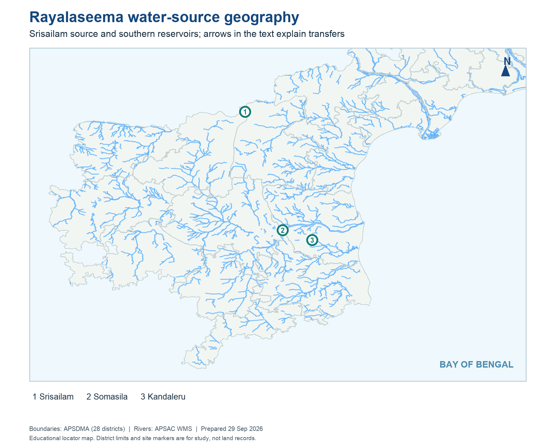
Districts: APSDMA. Rivers: APSAC WMS. Educational site locators: OpenStreetMap and official project records.
Read this map
The Rayalaseema map should be read in two layers: local drainage and transferred supply. Follow the Krishna-side source first, then the lift and canal route inland. Place dry-zone districts around the route without relabelling the transferred water as a new natural river.
Page 1 of 1