Lay out Kurnool and Nandyal in the north, Kadapa and Annamayya toward the east, Ananthapuramu and Sri Sathya Sai toward the west and south, with Chittoor on the south-eastern border. This is a study grid, not a replacement for the map. It helps organise plateau climate, rain-shadow farming, Penna basin, Nallamala-side hills and cross-border routes.
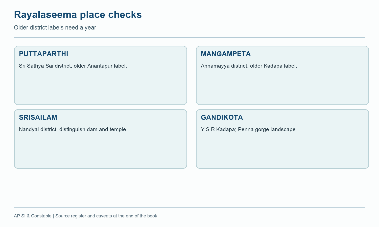
Several place names moved between district answers in 2022. Lepakshi and Puttaparthi now belong to Sri Sathya Sai, while old Anantapur guides listed them under the undivided district. Mangampeta is now in Annamayya, though old Kadapa records mention it. Srisailam may be described in old Kurnool material; check the present district and whether the question concerns dam or temple.
Worked example: Draw the Rayalaseema district grid using Kurnool, Nandyal, Kadapa, Annamayya, Chittoor, Ananthapuramu and Sri Sathya Sai with adjacent southern units as needed. Then place a distinct anchor in each: cave, river, mineral, pilgrimage or headquarters. Do not force old four-district Rayalaseema statistics into the new smaller polygons without a documented split.
Active recall: Name the present districts for Puttaparthi, Mangampeta and Srisailam.
Rayalaseema recall route
Match current districts with heritage, mineral and upland anchors.
Read this visual
The Rayalaseema route groups present districts for recall. A physical region is broader than one administrative polygon.
Current district geometry: APSDMA. Current district names and headquarters: credited official directories and portals.