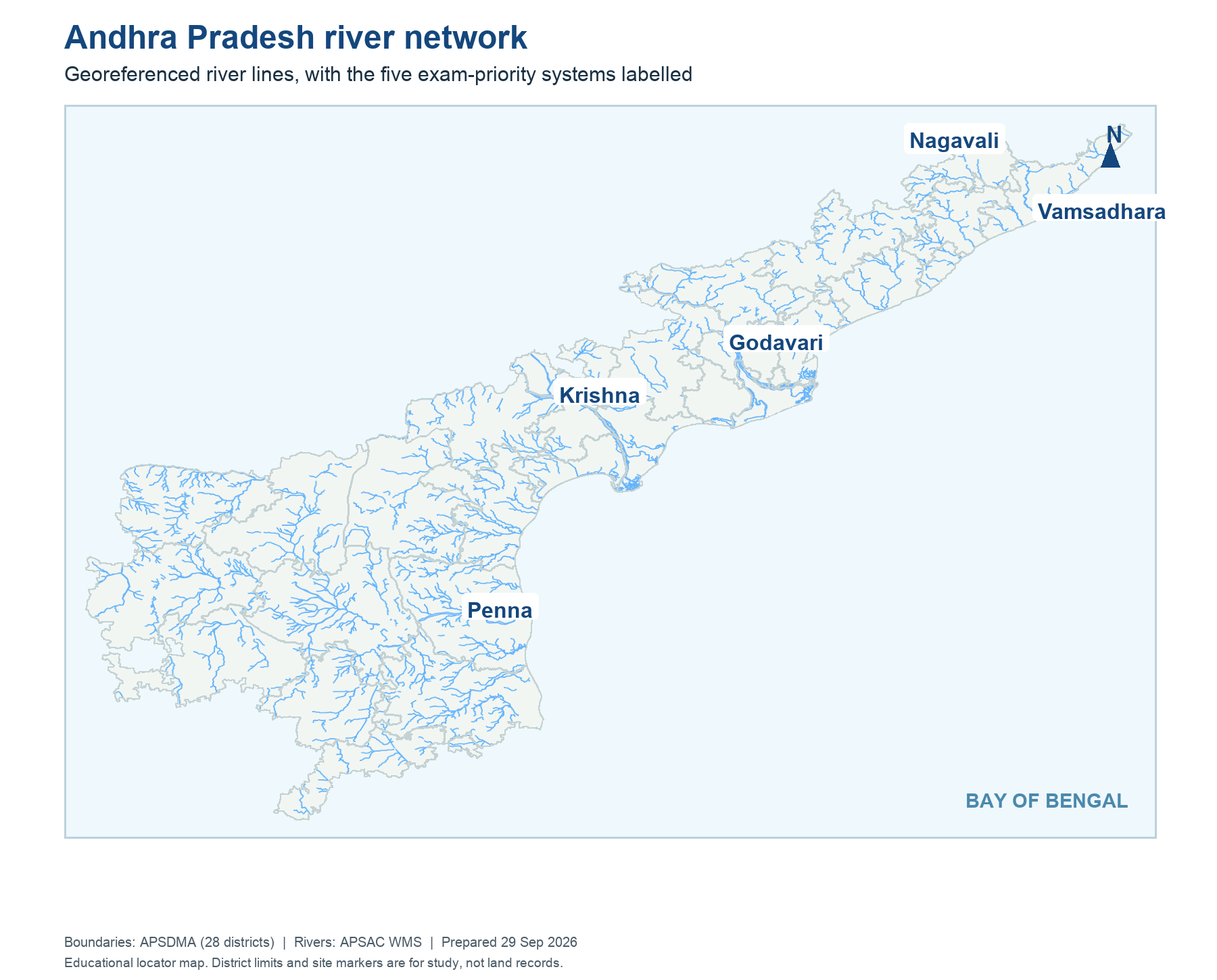
The Godavari and Krishna river systems cross state boundaries, and projects built before bifurcation served users now in two States. A political boundary does not split a reservoir into two independent hydrological systems. Part IX of the Act provides institutions and processes for managing shared-water questions. The map plate marks the broad basins and Polavaram's location; it is a study locator, not a technical allocation chart.
Learn the sequence of authorities: the Apex Council for high-level oversight and policy, separate river management boards for notified projects, the Central Water Commission for technical appraisal when required, and tribunals or negotiated processes for allocation disputes. Each has a distinct legal role. A board operating a project does not independently rewrite a binding tribunal award. For AP SI and Constable exams, the names GRMB and KRMB and their headquarters are high-yield. Keep them separate from the Polavaram national-project clause.
Worked example: A river map shows Krishna and Godavari crossing political boundaries. Water does not follow a single district office's jurisdiction. The Act therefore addresses shared-basin governance and project management apart from the territorial split. When locating a barrage or canal, identify its river, state and project purpose; then distinguish a map location from the legal authority that controls releases.
Active recall: Name the two river boards. Why can neither successor state manage every shared project alone?
Godavari and Krishna basin locator
Georeferenced river layer from APSAC with APSDMA district outlines.
Read this visual
The river network crosses political boundaries. Locate Krishna and Godavari projects first; then identify the interstate board, tribunal or project authority applicable to the question.
Current district geometry: APSDMA. Legal details: official 2014 and 2026 Acts and dated government records.