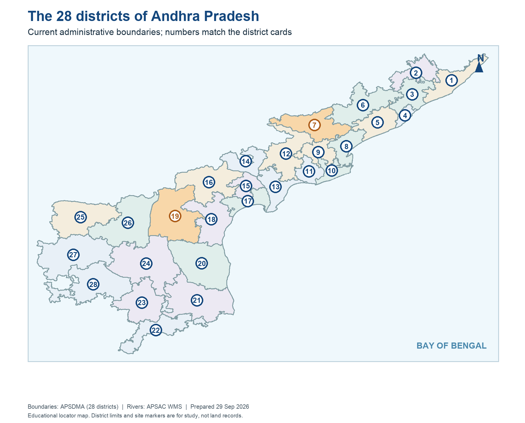
The 2014 timeline plate shows the legal split and Hyderabad's transition period. The map places current AP districts for present-day orientation; it is not a historical map of undivided AP. AP had 13 districts at bifurcation, 26 after the 2022 reorganisation, and the current plate has 28. Telangana also changed its internal district map. Section 11 explains that each State retained the power to change such internal units.
The Godavari and Krishna basin plate adds a third geography: rivers and catchments. Basins cross district and state lines. Polavaram's location in AP does not mean all Godavari water originates there. A map question should ask “what layer and date?” before giving an answer. The source of the geometry belongs in the caption. When a current administrative map is used for a historical 2014 event, the label must say it is only an orientation aid.
Worked example: Compare a 2014 13-district AP map with a current 28-district administrative map. The interstate split and later internal district formation are separate layers. A historical grant to an old district may cover areas now in multiple new districts. For an exam answer, use the map date supplied by the question and avoid assigning an old number to today's polygon merely by name similarity.
Active recall: State the AP district-count sequence. Why can the same project appear on a state map, district map and basin map without identical boundaries?
Current AP districts after later changes
Compare this with the Act-era 13-district descriptions.
Read this visual
Numbered polygons show current districts. For a 2014 legal question, rebuild the old units or use the Act-era source; district counts and names have changed after reorganisation.
Current district geometry: APSDMA. Legal details: official 2014 and 2026 Acts and dated government records.