The southern circuit combines different landforms and histories. Tirumala, Srikalahasti, Gudimallam and Chandragiri cluster around the Tirupati district area, but are shrine, shrine, archaeological temple and fort/museum respectively. Pulicat and Talakona add lagoon and waterfall to the same broad regional map. Farther west and north, Lepakshi in Sri Sathya Sai district, Gandikota in YSR Kadapa and Belum Caves in Nandyal district provide temple sculpture, river gorge/fort and natural cave contrasts.
This circuit rewards visual sorting. A monolithic Nandi suggests Lepakshi, a Penna gorge Gandikota, and a limestone passage Belum. A portrait of Venkateswara worship points toward Tirumala, while the Swarnamukhi River cue points toward Srikalahasti. Do not claim that a visitor can cover every site in a day; this is an exam memory route rather than a travel itinerary. Current road and entry details require separate checks.
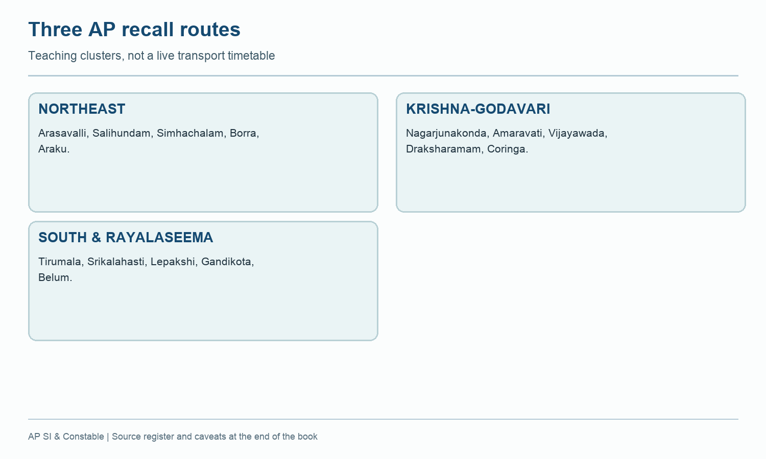
Worked example: Build a southern and Rayalaseema route with Tirumala, Srikalahasti, Chandragiri, Lepakshi, Belum and Gandikota. The route groups sites for recall, not because they share one period or status. Mark Lepakshi's tentative-list status and Belum's natural formation; these two distinctions prevent common overclaims in quick MCQs.
Active recall: Identify five southern sites from their distinctive visual or river clue, then give each present district if confirmed.
Three regional recall routes
A teaching route is not a guarantee of present service availability.
Read this visual
The three circuits are study routes. They group different site types for recall and do not certify present transport links or open facilities.
Current district geometry: APSDMA. Site status and access: credited tourism, archaeology, UNESCO and forest sources.