Start with three clusters: Salihundam in the far northeast; Bojjannakonda and the Visakhapatnam hill sites farther southwest along the coast; Amaravati and Nagarjunakonda in the Krishna region, with Chandavaram toward the Gundlakamma basin. The order matters more than exact map coordinates. When an exam gives two names with similar endings, ask whether the site is near the sea, a river, or a reservoir. That removes many plausible distractors.
The next trap is status. An ASI protected monument, an AP Tourism circuit and a UNESCO World Heritage property are not interchangeable categories. Amaravati and Nagarjunakonda have archaeological protection and tourism promotion; that alone does not turn them into UNESCO World Heritage Sites. The third trap is an old district label. A heritage brochure can be accurate about a monument yet outdated administratively. Keep a dated map card beside the source. Finally, a “Buddhist circuit” may include access to caves or museums as visitor nodes without making every node a stupa.
Worked example: Cover the labels on the Buddhist map and place Amaravati, Nagarjunakonda and the Visakhapatnam-area sites from south to north. Then identify which is a reservoir-island visitor context and which sits on the north coast. If two answers remain plausible, seek the precise monument feature in the question rather than guessing from a shared religious category.
Active recall: Draw the northeast-to-southwest order of six Buddhist sites. Name one status statement that would be false.
Classify the site
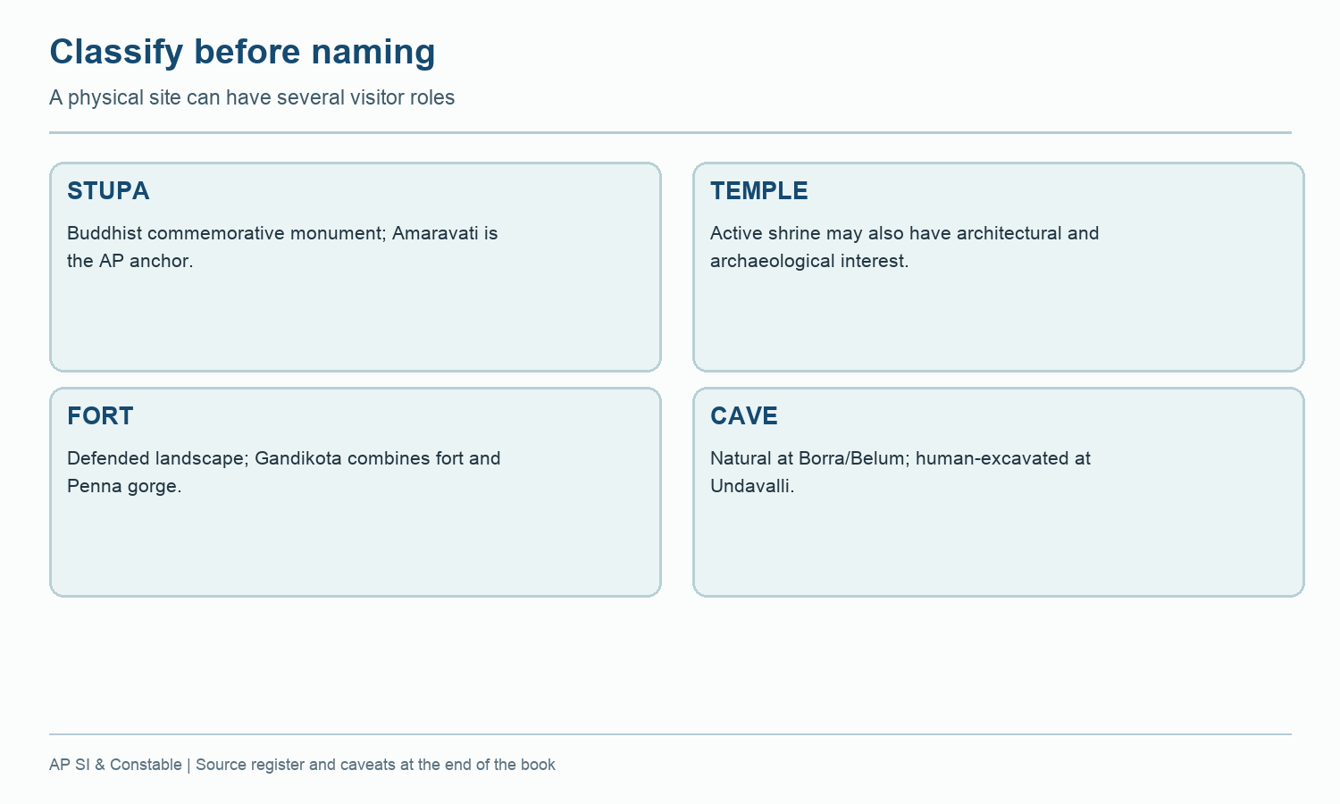
A site's physical type differs from its tourism or legal status.
Read this visual
Classify what the site physically is before adding deity, period, legal protection or current tourism service. These are different answer fields.
Current district geometry: APSDMA. Site status and access: credited tourism, archaeology, UNESCO and forest sources.