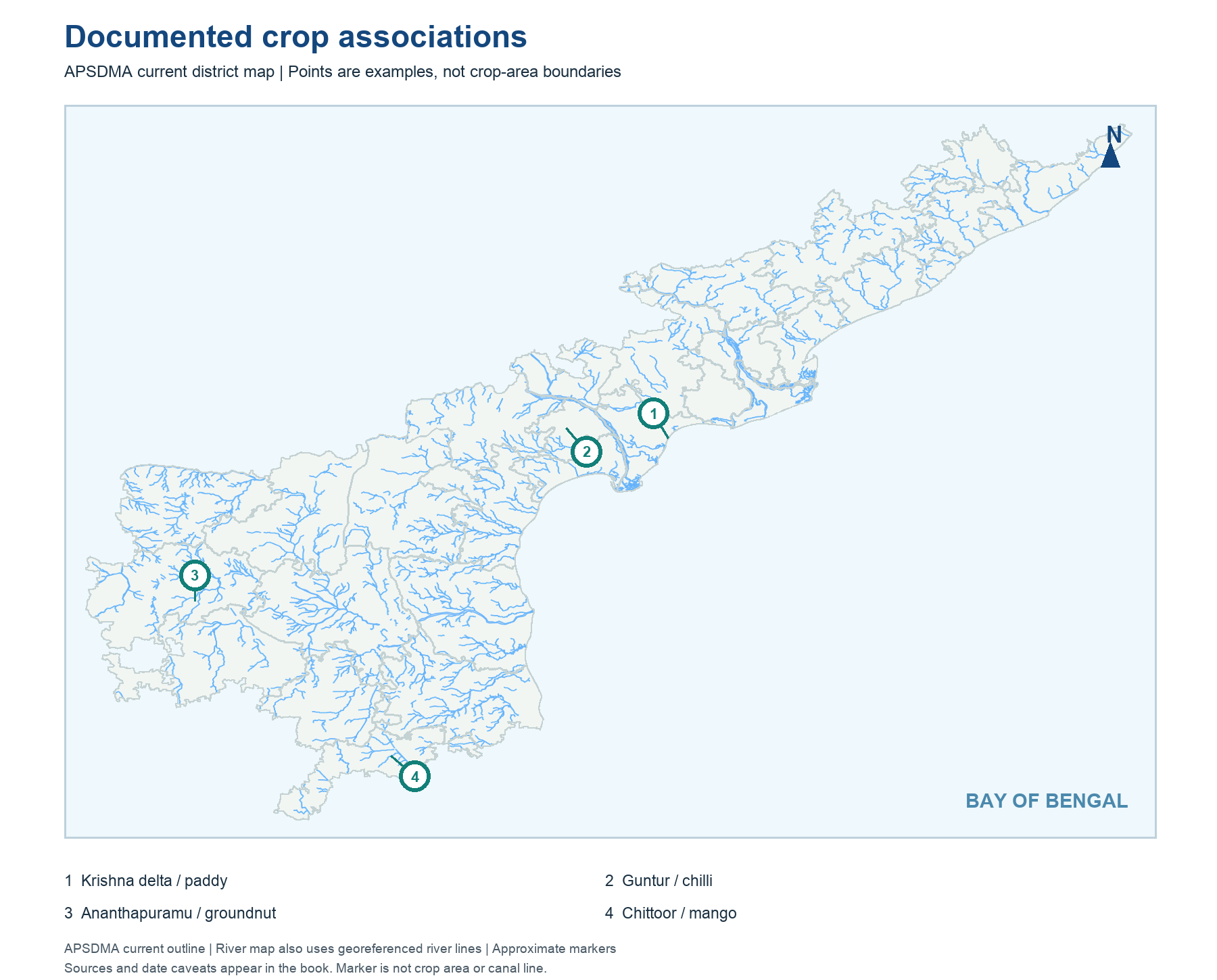
The first real map uses the APSDMA current district outline and a small set of officially documented places: Krishna delta paddy near Machilipatnam, Guntur chilli, Ananthapuramu groundnut and Chittoor mango. Their markers are association anchors. They do not mean each crop is absent outside the named district. The second map places the Krishna and Godavari basin/project anchors discussed later, again as points rather than fictional canal polygons.
Watch district vintage. AP State Seeds' paddy page discusses old East Godavari, West Godavari, Krishna and Guntur districts; today's district names and boundaries have changed. The crop geography remains a useful regional memory aid, but a current district count cannot be copied from an older webpage. A dot at Machilipatnam represents a Krishna delta example, not every paddy plot. A map helps with relative location, while the local source confirms the crop or project.
Worked example: On a current AP outline, mark the Krishna and Godavari deltas, the inland Rayalaseema dryland belt and the north-coastal hill transition. Then place example crops with caveats: paddy is important in irrigated deltas and groundnut in dryland areas, but neither is confined to one polygon. Label each point as an illustrative source example, not a measured crop boundary.
Active recall: Locate the Krishna delta, Guntur, Ananthapuramu and Chittoor. Which two markers are linked with relatively dryland or orchard systems?
Documented crop associations
Current AP outline with sourced crop examples, not cultivated-area boundaries.
Read this visual
Crop points are documented examples on a current district outline, not measured crop polygons. A crop can occur outside the marked district.
Current district geometry: APSDMA. Crop and irrigation claims: credited agriculture and water-authority sources.