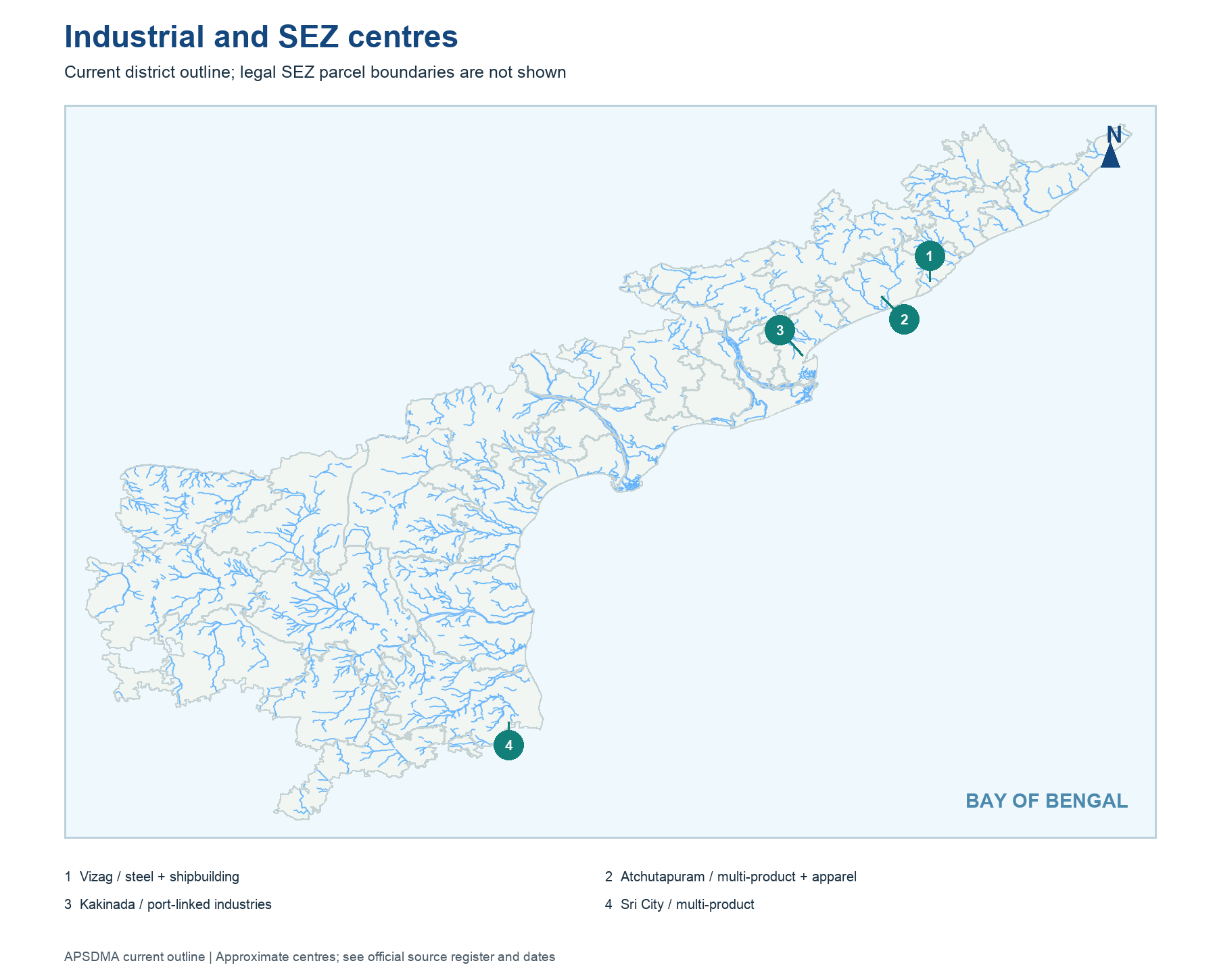
AP industry clusters around resources, farm produce, ports, highways, labour and planned infrastructure. Visakhapatnam combines a major port with steel, petroleum and shipbuilding; Kakinada has port-linked fertiliser, chemicals and agro-industry; southern coastal industrial estates connect with Chennai-region markets; inland mineral areas support cement and stone processing. These are patterns, not statements that no other industry exists in each region.
APIIC develops parks and lists SEZs, while the industrial policy sets incentive and infrastructure aims. A park can be notified before all plots are occupied. A company may announce an investment without starting production. On the map, an industrial centre is a point or labelled cluster; the exact land parcel requires APIIC's current GIS. A district's old industry profile may use pre-2022 boundaries. Always separate its geographic association from a precise current employment count.
Worked example: An industrial park near a port may attract manufacturing because of land, roads, power and logistics, but proximity alone does not prove that every plot is occupied. A policy map shows intended clusters; APIIC records and operating company reports show implementation. If a question asks why a coast matters, discuss transport and markets, not a fabricated count of functioning factories.
Active recall: Name two location advantages of a coastal industrial centre and one reason an announced project is not production.
Industrial and SEZ centres
Current district outline; a point is not a notified SEZ parcel boundary.
Read this visual
The industrial and SEZ map marks centres, not notified parcel boundaries or operating factory counts. Read status from current APIIC and central lists.
Current district geometry: APSDMA. Mining, industry, SEZ and port claims: credited issuing bodies.