The Tungabhadra is a major tributary of the Krishna and shapes north-western AP water geography around Kurnool and neighbouring states. It should be drawn joining Krishna upstream of the lower AP delta projects. A dam on a tributary and a barrage on the main Krishna are different basin positions.
Use a nested diagram: Tungabhadra inside Krishna basin, Srisailam on the main river, Prakasam Barrage near the delta. A river crossing a state border is not a new basin. Present district boundaries can change while the tributary relationship stays.
Worked example: The Tungabhadra is an important Krishna tributary for north-western AP and the Rayalaseema water story. A question asking the main river should distinguish a tributary from the Krishna itself. A point on the north-west map can be near inter-state water infrastructure, so a current AP district outline does not define the full basin. Separate location of a project, originating river and beneficiary command.
Active recall: Locate the named river or project on the relevant map, name its function, and state which facts need a dated source.
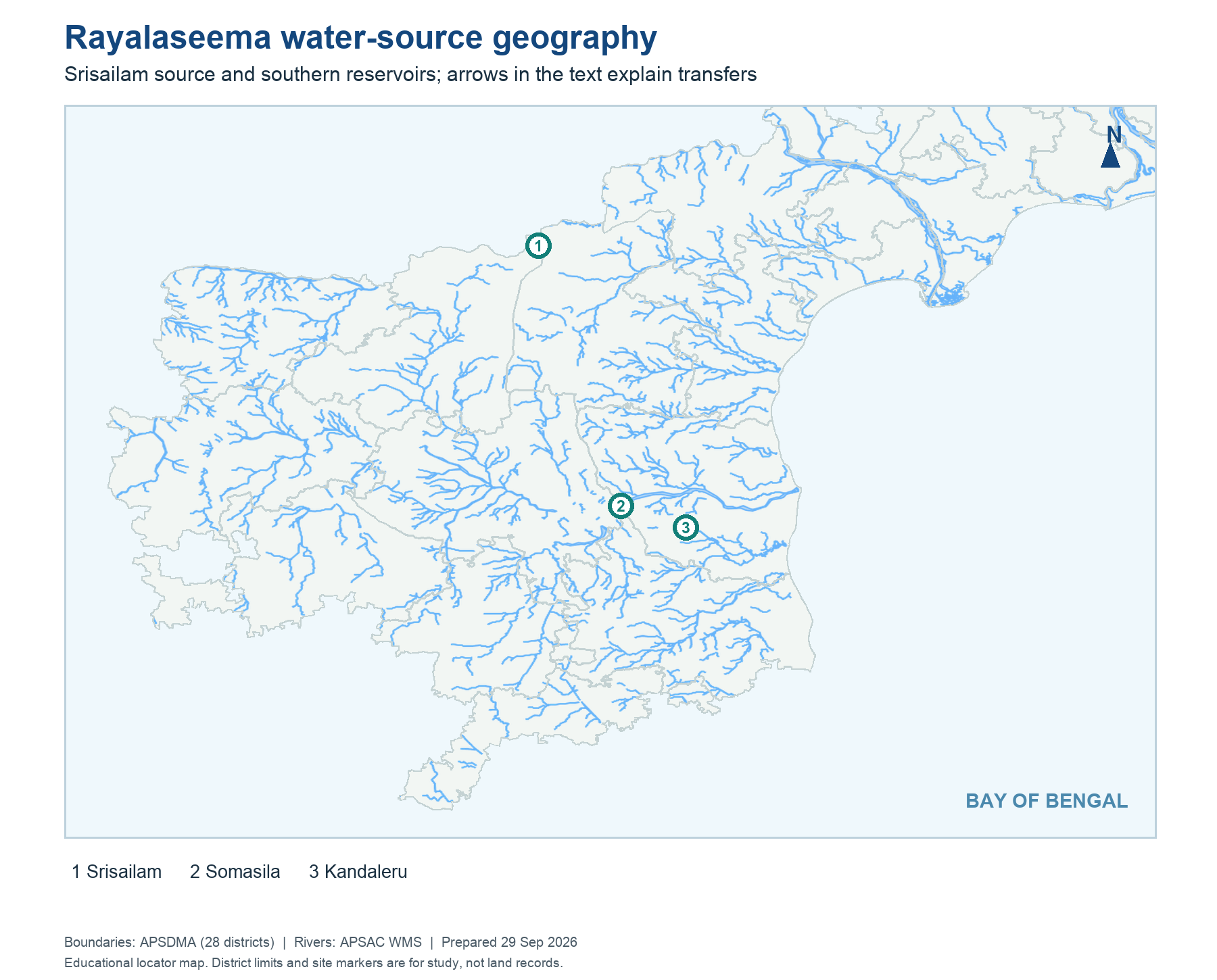
Rayalaseema water geography
Shows Srisailam-source and southern reservoir points; text explains actual transfers.
Read this visual
Identify the Rayalaseema destinations and the reservoir or lift route serving them. A map arrow gives direction; it does not establish present delivery or command area.
District geometry: APSDMA. River layer: APSAC. Project and status details: credited water-resource agencies.